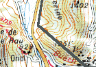
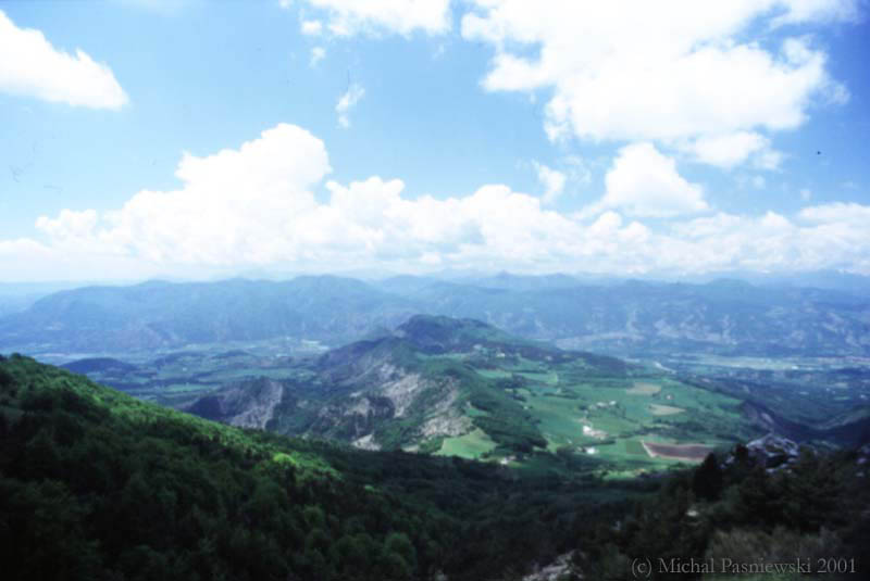
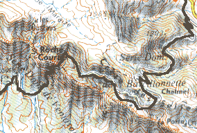
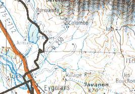
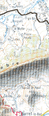
| From Lus-La-Croix-Haute (not on the map) to Eyguians I followed the
"Chemins du Soleil" trace which are marked with red signs. Both places are
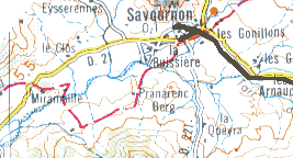
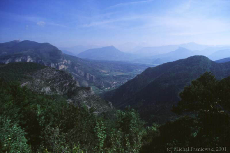
served by SNCF train and/or bus Veynes-Sisteron. Then I visited Gorges de Meouge and went
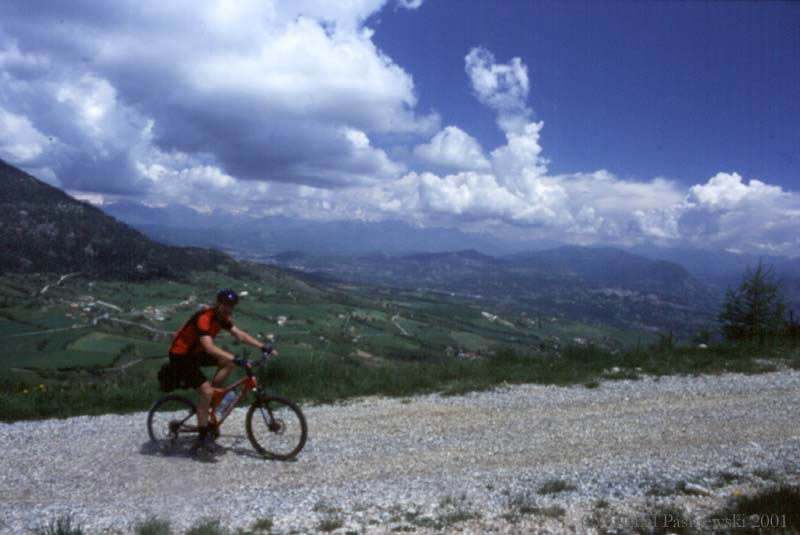
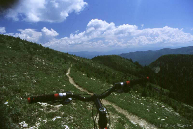
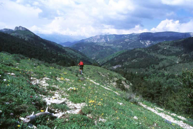
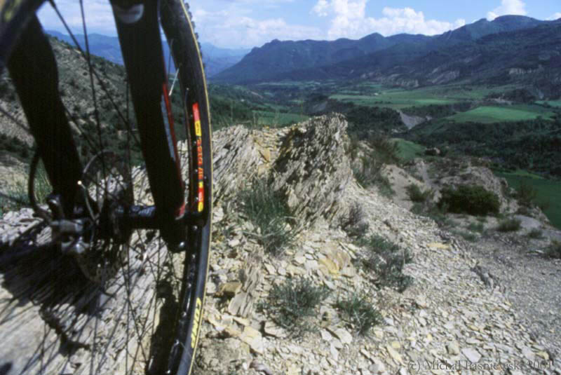
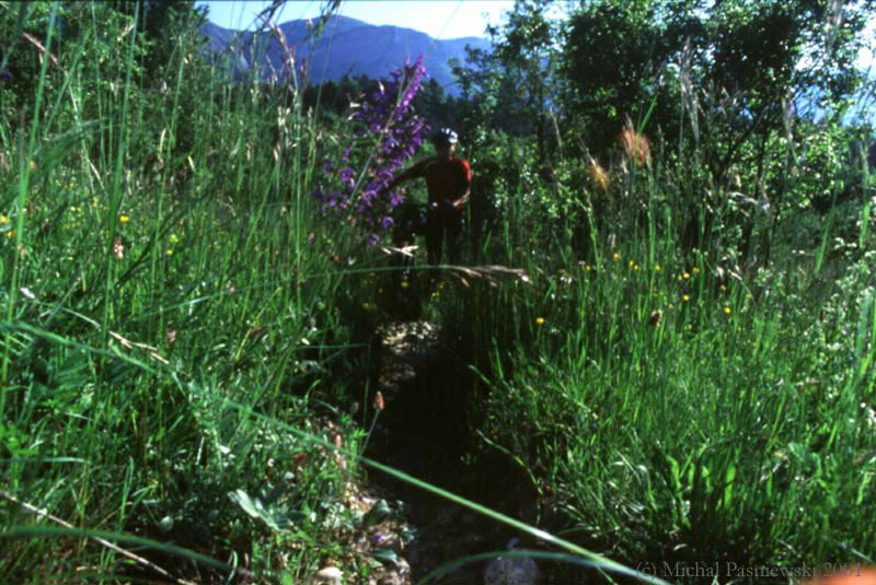
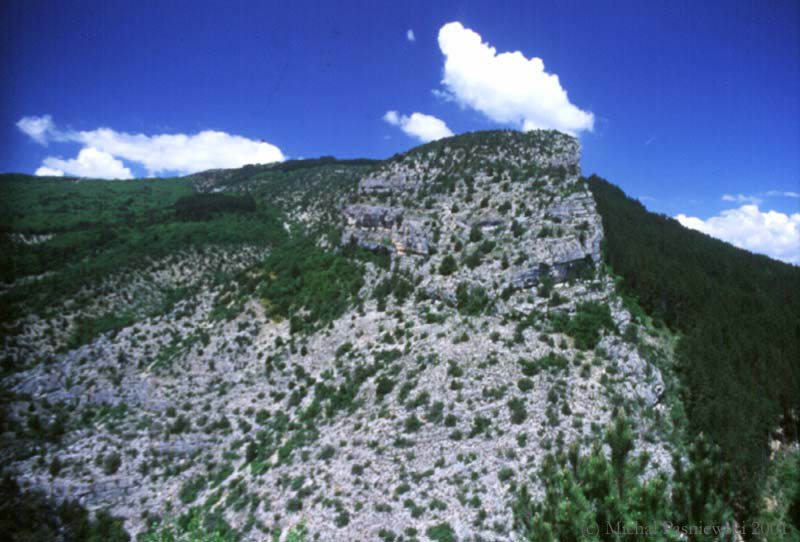
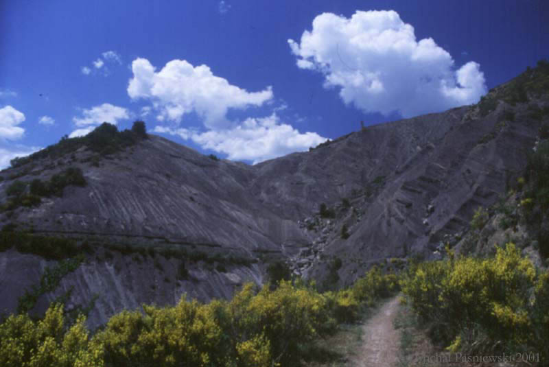
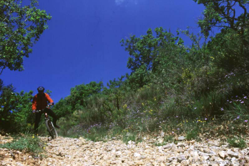
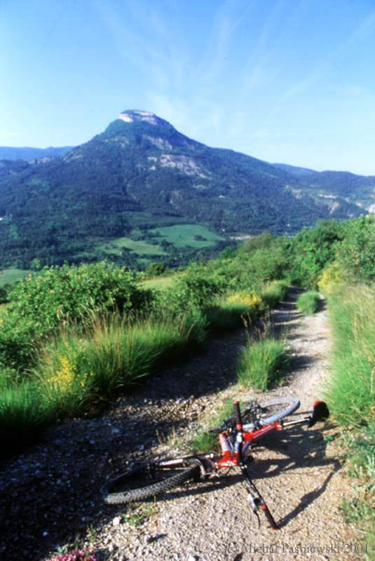
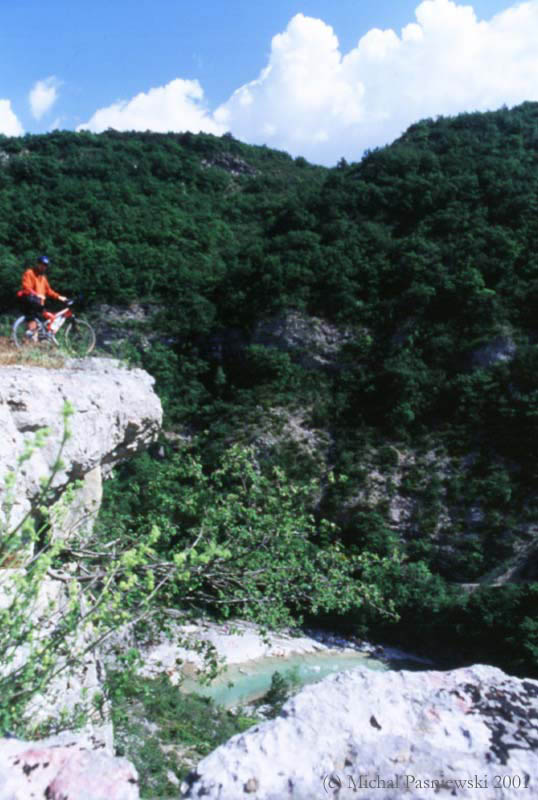
to Orpierre (well known climbing villeage) where I made 2 MTB tracks. The climbs are
mainly on 4WD tracks and descents on very nice singletracks, each day (of 3) I did
something like +1000m. Please keep in mind this data comes from my portable GPS unit and
should be taken with care. Some parts of the trace are continous which means the unit has
been switched off. Here you can download the trace
in Ozi Explorer format. |